This post contains Amazon affiliate links. When you purchase something from the link, I will receive a small commission to help support my blog. This comes at no cost to you; thank you!
Charlotte makes it easy to get outside without much planning. You can walk a greenway after work, spend a Saturday morning at a park, or run up Crowders Mountain when you want a little elevation. But if you are wondering how Charlotte hikers can prep for Blue Ridge trails, the short answer is this: mountain hikes ask for a different kind of readiness than what the Piedmont teaches you.
The climbs are longer. The weather shifts faster, and it is usually colder up high than the forecast on your phone for Charlotte suggests. The ground is rockier, steeper, and a lot less predictable than most local loops. None of that means the Blue Ridge is only for hardcore hikers. It just means a little prep before the drive turns a rough day into a great one.
One of my first real mountain hikes was Grandfather Mountain as a kid, and I barely remember it because I was not fit and it wrecked me. I have done a lot of mountain miles since, and the lessons below are the ones I actually learned the hard way.
Choose the Right Step-Up Hike
If most of your hiking has been flat Charlotte ground, do not jump straight onto a long mountain route. Build up with trails that make you practice hills, uneven footing, and steady pacing first.
Crowders Mountain is the obvious step up because it gives you a steeper climb without a long drive, and Kings Mountain right next door is a good one too. From there, I would point you toward the Pilot Mountain or Stone Mountain areas before anything farther west. Both give you real climbing and rock underfoot. I would skip Lake Norman State Park as mountain prep, as much as I like it, simply because it is too flat to teach your legs anything about elevation. If you want a roundup of the gentler on-ramps close to home, I put together 7 local trails near Charlotte worth repeating, and a full write-up on hiking Stone Mountain State Park, which is about an hour up I-77 for me.
When you pick that first Blue Ridge hike, look past the mileage. A four-mile mountain trail can crush you in a way four flat miles never will. Check the elevation gain, the trail surface, the parking situation, the forecast for the actual trailhead, the daylight you have, and whether it is a loop or an out-and-back. A good first mountain hike should test you without turning the day into a grind.
Gear Pick
Waterproof Timberland Hiking Boots
I hike the mountains in a pair of waterproof Timberlands and they have held up well. For someone stepping up from flat trails, a solid waterproof leather boot is the one piece I would not cheap out on. Wet feet and no ankle support is how a fun day goes sideways. These are a fair price for what you get and they break in nicely.
Pace the Climb Early
The easiest mistake on a mountain trail is starting too fast. The first stretch feels fine, especially when you are fired up to reach a summit or an overlook. Then your legs go heavy and the rest of the hike costs more than it should.
Good pacing starts at the trailhead, not halfway up. On the climbs, shorten your stride and keep your breathing steady. If you are gassed in the first few minutes, slow down. A pace you can hold all day beats a sprint that empties the tank before the trail even gets serious.
Breaks matter too. Stop before you are wrecked, drink before you feel thirsty, and eat before your energy tanks. Mountain hiking is not about how fast you can move. It is about keeping enough in reserve to enjoy the trail and get back to the truck safely.
Save Energy for the Downhill
Everybody fixates on reaching the view, but the hike is not over at the overlook. The descent is where tired legs and sloppy steps show up, and for me the down has always been rougher on the body than the up.
Going downhill works you differently than climbing. Your quads, knees, ankles, and feet are all fighting to control each step. Add rock, mud, or a layer of leaves and rushing the descent is how you slip or roll an ankle. Before a Blue Ridge hike, practice controlled downhill on local trails. Take shorter steps, keep your weight centered, and do not let momentum carry you. Trekking poles help a lot here, but only if you have used them before the day that counts.
Gear Pick
Cascade Mountain Tech Trekking Poles
If your balance is not great or your knees feel the descents, poles are worth it. Cascade Mountain Tech makes the value pick here, light enough that you will actually bring them and cheap enough that the first set will not hurt if you are still deciding whether poles are for you. Practice with them on a local trail first so they feel natural before a real climb.
The view is the reward, but getting back to the trailhead feeling good is what actually makes the day a win.
Watch Your Foot Placement
Blue Ridge trails ask for more attention than a casual local walk. You will step around roots, cross angled rock, pick through small muddy stretches, and move over leaf cover where you cannot see what is underneath.
Instead of staring at your shoes, scan a few steps ahead. Look for stable places to land and back off the pace when the terrain changes. Shorter steps give you more control than long strides on uneven ground. You do not need to overthink every footfall, just stay aware, especially when you are tired or heading down. A lot of slips happen late in a hike when people relax, rush, and stop reading the trail. A little practice with foot placement and balance pays off when a trail starts getting steeper, rockier, or more technical.
Pack for Mountain Conditions, Not City Weather
This is the one that caught me out the most over the years. Charlotte weather does not match mountain weather. In spring you might look outside, see 70 degrees in the Piedmont, and dress for that. Up at elevation it is cooler, often windier, and that mismatch turns a nice hike into a cold, miserable one fast. Fall and winter make it trickier with shorter daylight, colder air, and wet trails.
Check the forecast for the actual trail area, not Charlotte. My rule is simple: it is better to overprepare than underprepare. Bring layers you can add or shed, a real rain shell, more water and food than you think you need, a basic first aid kit, and a headlamp in case the hike runs long. Tell someone where you are going and when you expect to be back. And do not expect any cell service out there, because most of the time you will not have it.
On gear, test the basics close to home before you trust them in the mountains. Shoes that feel fine on the sidewalk may not cut it on rock and mud, and a pack that is comfy for one mile can feel very different after several hours.
Gear Pick
Osprey Daypack
A solid pack to organize your water, layers, food, and first aid is half the battle. Osprey is a step-up brand, but for the Charlotte crowd who will hike for years, it is worth the investment, and the build and the fit hold up. Pair it with a waterproof pack cover or a dry bag inside so a surprise mountain shower does not soak everything you packed.
One note on rain gear: spend a little more here. I have run through cheap, disposable rain gear that tore up almost immediately and left me wet anyway. A quality rain shell that actually lasts is the better buy, and your back will thank you when the clouds open up two miles from the car.
Gear Pick
Marmot PreCip Eco Rain Jacket
This is the spend-a-little-more pick I keep pointing people to instead of the throwaway poncho. The Marmot PreCip has been a reliable, well-reviewed value rain shell for years. It packs down small, actually keeps the rain out, and holds up to real use. Buy once instead of replacing a torn cheap one every season.
Have a Plan for When Your Phone Goes Dark
Cell service in the Blue Ridge is bad to nonexistent. Plan around that before you leave instead of finding out the hard way. At the simplest level, that means telling someone your route and your turnaround time. A GPS unit is nice for navigation, though keep in mind GPS is not communication, it just tells you where you are.
If you want a way to actually reach out, here are your real options, roughly easiest to most involved. A satellite messenger like a Garmin inReach is excellent, just go in knowing it runs on a subscription. GMRS radios are the easier license to get if you want two-way radio without a big test. If you are a ham radio operator, or willing to become one, a VHF radio that can hit a repeater in the area is the serious-tier setup, but you have to know where those repeaters are first. One thing I would skip out there is Meshtastic. I run a Meshtastic stack at home and love it, but the terrain and elevation in the Blue Ridge work against it, and you should not count on getting a signal out.
Know When To Turn Around
Turning around is one of the most underrated skills in hiking. It is not failure. It is good judgment.
If the weather turns, the daylight is running short, someone in your group is struggling, or the trail is past your comfort level, change the plan. The mountains are not going anywhere. You can come back on a clearer day or after a little more practice. I am an ambitious person by nature, so I get the pull to push on, but every hike teaches you something about your pace, your gear, and your limits, and you do not have to redline every plan for the day to be worth it. The goal is to enjoy it and get home safe enough to plan the next one.
Make the Most of the Mountain Miles
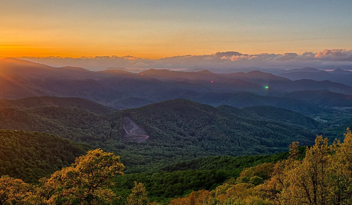
The best part of living near Charlotte is having both local trails and real mountains within reach. Build your confidence close to home, then carry that experience west when you want bigger views and a different kind of day.
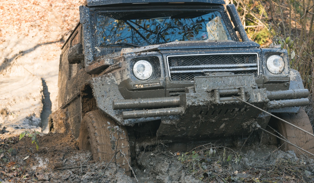
Once you are ready for the good stuff, the southwestern corner of North Carolina around Asheville is, in my opinion, the best hiking in the state. The Art Loeb Trail is up there with the best of it. It is a serious hike, so do not make it your first, but if you are reasonably fit and have warmed up on a few mountain trails, it is absolutely doable. The Boone Fork Trail near Blowing Rock is a great middle step, a roughly five-mile loop that is lighter on big views but shows off the mountain topography. For something more accessible, the hikes off old NC 105 along the Linville Gorge are perfect because you do not have to commit to a full loop. You can hike a mile in, turn around, and hike a mile out, and still get the gorge. Just bring the right vehicle. I have seen sedans, minivans, and SUVs on old NC 105, and I have driven sections I would not have wanted to take any of them through. I actually filmed a trip out there, so you can come explore old NC 105 in the Linville Gorge with me before you go.
Start with the right hike, pace yourself early, save something for the downhill, watch your footing, and pack for the mountains instead of the city. Do that, and the Blue Ridge stops feeling intimidating and starts feeling like the reason you got into this in the first place.
Frequently Asked Questions
How should Charlotte hikers train for Blue Ridge trails?
Build up on trails with real elevation before driving west. Crowders Mountain and Kings Mountain are the closest step-ups, and the Pilot Mountain and Stone Mountain areas add more climbing and rock. Flat trails like Lake Norman State Park are great hikes but will not prepare your legs for mountain elevation.
What is a good first Blue Ridge hike near Charlotte?
The Boone Fork Trail near Blowing Rock is a solid first mountain hike, a roughly five-mile loop that shows off the terrain without demanding big-view summit effort. The shorter out-and-back hikes off old NC 105 along the Linville Gorge are also approachable since you can turn around whenever you want.
Why does mountain weather feel so different from Charlotte?
Elevation. It is commonly cooler and windier at the trailhead than in the Piedmont, which catches people off guard in spring especially. You might leave Charlotte in 70-degree weather and start a mountain hike in chilly, breezy conditions. Always check the forecast for the actual trail area and pack layers.
Do you need trekking poles for Blue Ridge hiking?
You do not strictly need them, but they help a lot on long descents and rough footing, especially if your balance or knees give you trouble. The key is to practice with them on a local trail first so they feel natural before a real climb.
How do you communicate in the mountains with no cell service?
Expect no phone signal and plan around it. Tell someone your route and turnaround time before you leave. For two-way options, a satellite messenger like a Garmin inReach works well on a subscription, GMRS radios are the easier license to obtain, and a VHF radio with a known repeater is the advanced option for ham operators. GPS helps with navigation but is not communication.